

Simulation models help scientists to understand the principles of the water regime in the landscape
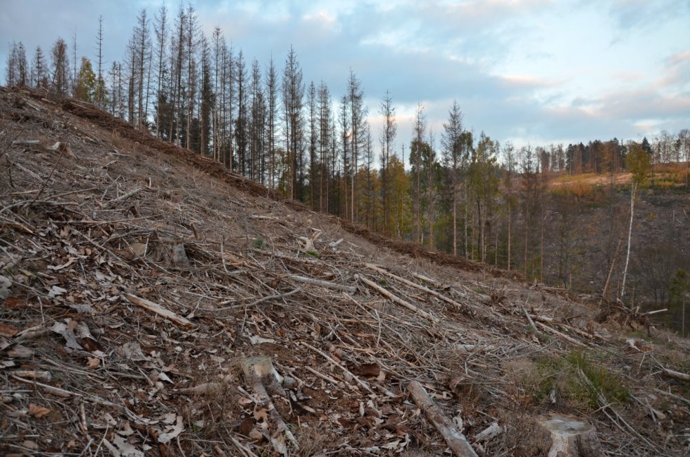
Increasing problems with drought, deforestation of mountain slopes, threat of flash floods, restoration of forests after bark beetle calamity, water retention in the landscape. This is just a small survey of the problems that are currently being solved by scientists in connection with the state of forests. These problems only increase the importance of forestry-hydrological research of small forest catchments.
 Experimental research and measurement of hydrometeorological elements in the field are currently supplemented both by modern technologies and simulation tools of hydrological modelling, which bring the possibility of predicting and simulating the impacts of alternative scenarios in virtual reality, i.e. without real interventions in forest stands or other key parameters of the catchment (terrain modifications, construction of water buildings, anti-erosion measures, etc.).
However, this is not a competition between different devices and technologies, but rather their logical and rational connection. The quality and accuracy of the hydrological model is largely proportional to the quality and accuracy of the input data, and conversely, the effectiveness of real interventions in the catchment may depend on the output data of GIS and hydrological models.
The economic aspect is also an important factor. From the point of view of operating costs, the long-term operation of experimental catchments is a demanding matter, and usable results are only available after long-term monitoring of these catchments. The simulation apparatus of hydrological models minimizes some of these costs.
Researchers at the Czech Hydrometeorological Institute in Ostrava deal with the use of simulation tools in hydrological research. They published their first results in the article The first three years of hydrological activities in the Černá Opava river basin as a contribution to the research into the influence of vegetation on the runoff conditions of the river basin and the study of the variability of the contributory areas of the river basin (První tři roky hydrologických aktivit na povodí Černé Opavy coby příspěvek k výzkumu vlivu vegetace na odtokové poměry povodí a studiu variability příspěvkových ploch povodí), which was published in the journal Reports of Forestry Research (Zprávy lesnického výzkumu 4/2022) 4/2022.
Among the factors analyzed are also sites of variable water contribution, which, in addition to field measurements, help to identify precisely complex hydrological models, and then the micro-roughness of the relief, which can be determined using digital relief model (DMR) analyses in GIS, together with hydrological modelling.
The site of variable water contribution, this is the area that a catchment contributes to direct runoff, changing both over time and with the intensity of rain and infiltration, and surface micro-roughness is the system of small terrain depressions, furrows and various elevations.
 The effect of scale, this is an essential aspect, since factors applying or being directly dominate in small experimental catchments are blurred in higher-order catchments in combination with other factors that gradually prevail.
For example, in the case of regional floods, the influence of the relief is applied more both by the shape of the valleys and the morphology of the inundation areas than by the micro-roughness of the relief itself.
In large catchments, there is the factor of variable contribution area of the catchment dominating. Micro-roughness of the surface is increasingly being used in small catchments, especially for surface runoff.
Understanding the mechanisms of the functioning of sites of variable water contribution in catchment, this is important not only from the point of view of the formation of flood waves during extreme runoff phases, but also during rainless and dry episodes, when water reserves in the catchment present often a crucial factor for the health condition of forest stands, state of other biocenoses and connected changes in selected soil parameters in a given basin, which are often irreversible.
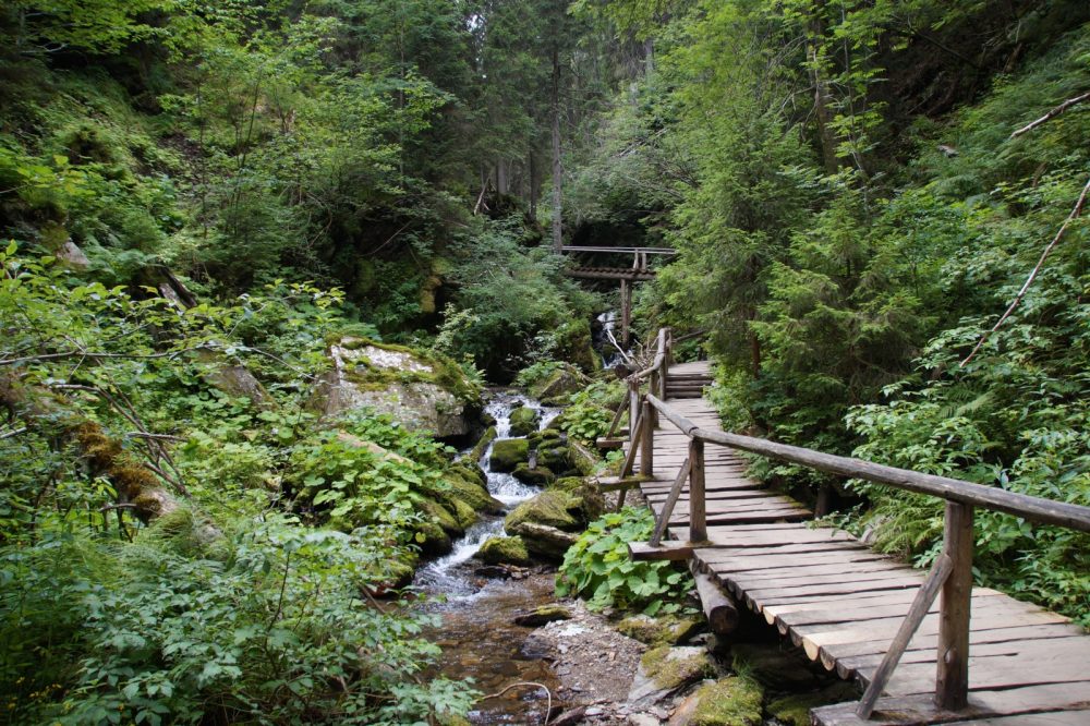
The Černá Opava pilot catchment is one of the most valuable basins on the border between Hrubý and Nízký Jeseník Mts., despite quite intensive agricultural and manufacturing activity in the past (running since the Middle Ages with a peak and subsequent decline in the 19th century).
The small-scale protected areas in this basin, the Rejvíz National Nature Preserve (NPR) with mountain peatlands (Big and Small Mossy Lakes) and mudflats and the Suchý vrch Natural Preserve (PR) with stony seas and relict pine forests, present a great potential from the point of view of nature conservation, forestry and forest hydrology.
In addition to the dominant forest species of Norway spruce and European beech, there is also possible to find longleaf pine and Carpathian birch, in the peatlands in the Bublavý potok catchment. The Jeseníky ecotype of the European larch is also mixed in here, locally. As for the rare species of shrubs and herbs, it can be mentioned the round-leaved sundew and the marsh cranberry.
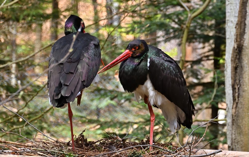 Among the interesting birds, there are the Northern bat, the Boreal Owl, the Eurasian pygmy owl, the black stork and the corn crake. During the field measurements there were repeatedly observed such species as the common raven or the European Honey-buzzard, and in one case also the peregrine falcon and the saker falcon, too.
There were also several water drives in the catchment. Among the most important ones, it can be included the drive transferring water from Černá Opava to Horní Údolí and the drive at Brandl’s mill (sawmill), with only the torso remaining from both buildings. At the end of the 1880s, several damming and other stream modification projects were prepared and implemented in the Bílá, Sřední, and Černá Opava catchments.
It is evident from the results so far that forestry-hydrological research is of indisputable importance for the knowledge of hydrological processes, especially in the highest and source parts of the catchment. This is where the initial hydrological transformation of air precipitation into runoff occurs and, depending on the key parameters of these parts of the catchment, also retention and retardation of runoff.
In addition to understanding these factors and their significance for the water management balance, flood protection and forest management itself, such detailed models enable the refinement of rainfall-runoff models used operationally within the framework of the Czech Hydrological Reporting and Forecasting Service.
The paper “The first three years of hydrological activities in the Černá Opava river basin as a contribution to the research into the influence of vegetation on the runoff conditions of the river basin and the study of the variability of the contributory areas of the river basin” can be downloaded here.
The paper was created during the solution of the project “Hydrometeorological risks in the Czech Republic – changes in risks and improvement of their predictions” (Hydrometeorologická rizika v ČR – změny rizik a zlepšení jejich predikcí).
Author of paper: Jan Unucka, Czech Hydrometeorological Institute (Český hydrometeorologický ústav Ostrava), e-mail: jan.unucka@chmi.cz
Prepared by: Ing. Jan Řezáč, FGMRI (VÚLHM, v. v. i.), e-mail: rezac@vuhlm.cz